- Admission
- Free admission
- Where
- Cassis, Provence-Alpes-Côte d'Azur
- Directions
- Directions
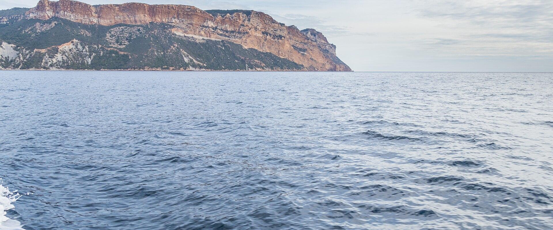
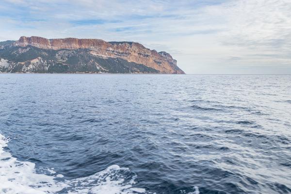
Cap Canaille is the great red headland that rises between Cassis and La Ciotat, and at nearly four hundred metres it is the highest sea cliff on the French mainland. Seen from the harbour at Cassis, it forms a massive wall of orange and rust-coloured rock that glows in the evening sun and contrasts with the white limestone of the nearby calanques. The colours come from the minerals in the rock, which is made of Cretaceous sandstone, conglomerate and clay layers stained by iron, and which weathers into steep, crumbling slopes and ravines. The cliff falls almost straight into the sea, and from the summit, the drop is vertiginous.
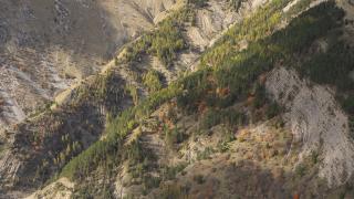
The headland belongs to a different geological world from the Calanques National Park, which stretches to the west and consists mainly of pale limestone. Here the soft, coloured rocks give a more rounded, warm appearance, and in places the slopes are covered with low Mediterranean scrub, pines and rock plants adapted to the dry, windy conditions. The cliff top supports a few fragile habitats and nesting birds, and the area is protected, so visitors are asked to stay on the signposted paths and keep well back from the edge. The rock is unstable, and falls do occur.
The best way to see Cap Canaille from above is by the Route des Crêtes, a winding panoramic road that runs along the ridge for some fifteen kilometres between Cassis and La Ciotat. The road climbs to high viewpoints with sweeping views of the Bay of Cassis, the town, the harbour, the vineyards and, in clear weather, the Calanques and the massifs of Provence beyond. Access for cars may be restricted at certain times, for example when winds are strong or in the dry summer months when the fire risk is high, and some days are reserved for walkers and cyclists, so check the current situation locally before planning a trip. A shuttle bus may link the town to the road on such days.
Walking is the other option. Marked trails of moderate difficulty climb from the town to the cape and along the ridge, taking about three hours for a typical loop, and they pass through scrub with views at every turn. The path is exposed, with little shade, so it is important to carry plenty of water, wear a hat and sturdy shoes, and avoid the heat of the day. Sunset is a favourite time to be on the ridge, but it is wise to carry a torch for the descent.
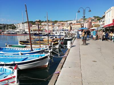
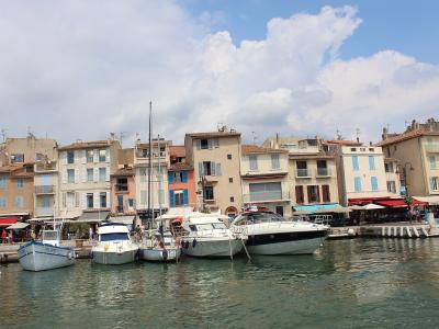
Cassis itself is a pleasant fishing port with a market, a lighthouse, pastel houses and cafés on the quay, and the Port de Cassis, the Plage de la Grande Mer, the Musée de Cassis and the Église Notre-Dame-de-la-Garde are all within reach. The vineyards that produce Cassis white wine climb the slopes beneath the cliff.
The cape suits walkers, photographers and drivers who like dramatic views. Mistral winds can be fierce, so take care.
Categories
More photos coming soon
Admission Fees
- Admission
- Free admission
Hours and prices change, especially out of season. Check with the venue before you go.
Nearby Attractions
Other places to visit in Cassis
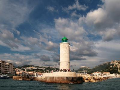
Cassis Lighthouse (Phare de Cassis)
17th-century lighthouse in Calanques National Park
Free Coastal & Maritime · Historic Architecture
Grotte de la Baleine
Sea cave in Cassis, France
Nature & Parks
Cassis Market (Place du Marché)
18th-century fountain in historic center
City Centers · Local Cuisine
Port de Cassis
Port in village with highest French maritime cliff
Free Coastal Promenades · Harbors
Questions people ask
Quick Facts
Best Time to Visit
May to June and September to October offer warm weather and fewer crowds for optimal enjoyment.