

Luberon Regional Natural Park
UNESCO Geopark with Bories stone huts
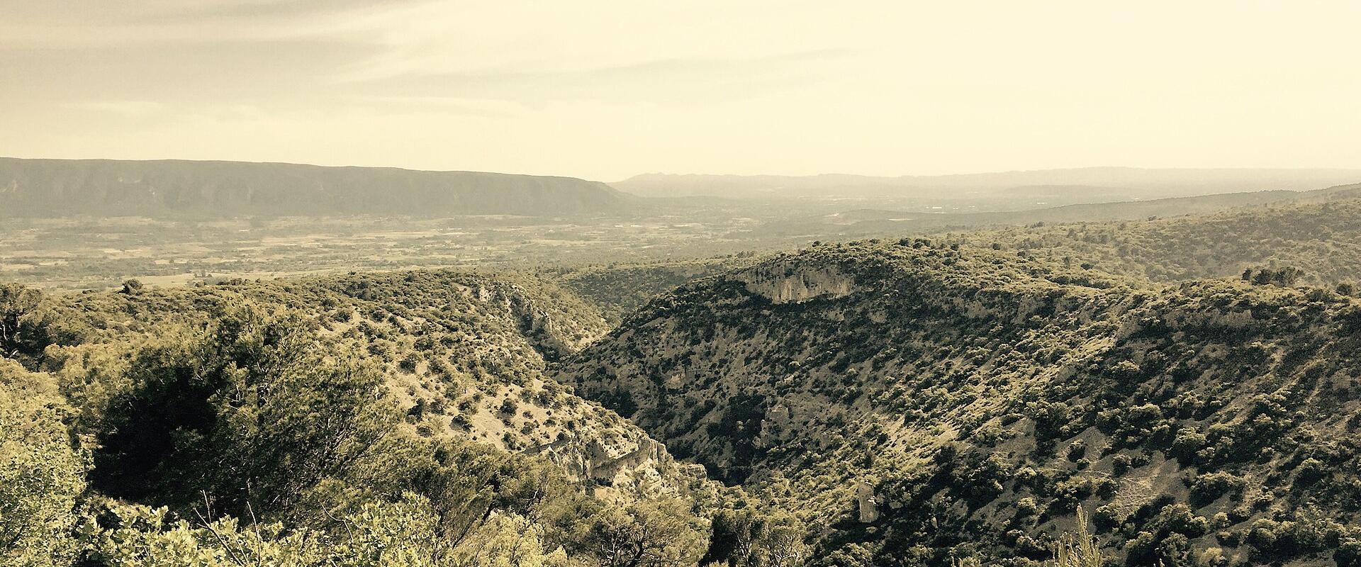
The Luberon Regional Natural Park is a protected area in Provence-Alpes-Côte d'Azur, France, centered around the Luberon mountain. Created in 1977, the park stretches 75 kilometers from Cavaillon to Forcalquier, with the Durance River forming its southern border. It is divided into two massifs, the Petit and Grand Luberon, separated by the combe of Lourmarin. The highest point is Mourre Nègre, at 1,125 meters. The park is also a UNESCO Global Geopark, located between the Alps and the Mediterranean.
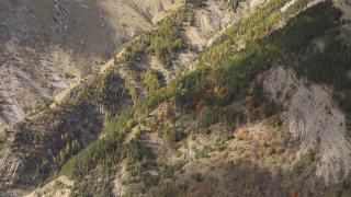
The landscape features diverse ecosystems, including limestone massifs that serve as nesting sites for birds of prey such as the Egyptian vulture and Bonelli’s eagle. Vegetation varies by altitude, ranging from Mediterranean species and garrigue at lower levels to Alpine influences at higher elevations. Half of the park is forested, featuring microcosms of evergreen oaks, pines, and 19th-century Algerian cedars on the Petit Luberon massif.
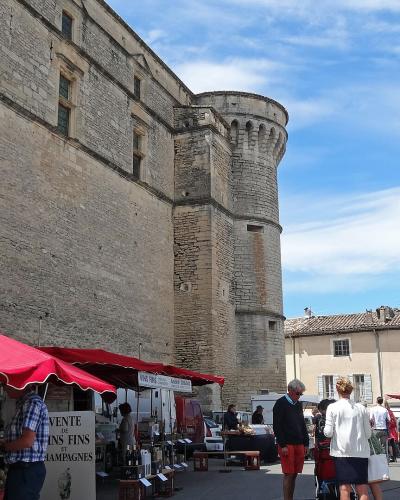
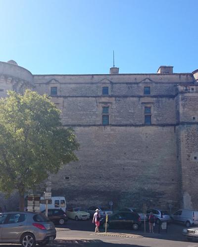
Gordes is one of the 77 municipalities within the park, known for its hilltop location and the "unique village of Bories." The region contains numerous hilltop villages and historical landmarks, offering visitors a blend of natural beauty and cultural heritage. While specific opening hours or admission fees for the park itself are not provided, as it is a large natural area, visitors can explore its trails, forests, and villages. The park offers a peaceful environment for hiking, cycling, and appreciating the Provençal landscape. Travelers are advised to check local tourism resources for specific activities and events in Gordes and other towns within the Luberon.
Categories
More photos coming soon
Nearby Attractions
Other places to visit in Gordes
Frequently Asked Questions
Quick Facts
Best Time to Visit
May to June and September to October offer mild weather and fewer crowds for optimal exploration.