- Where
- Briançon, Provence-Alpes-Côte d'Azur
- Directions
- Directions
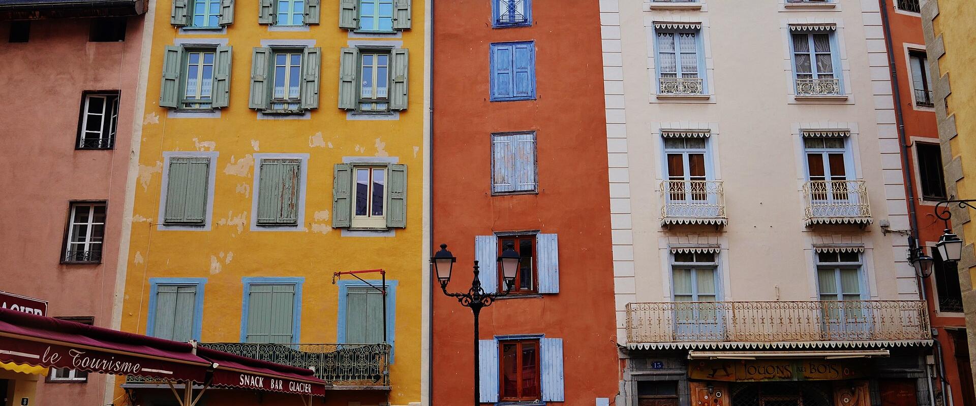
A place d'armes is the parade ground of a fortified town, the open space where the garrison could assemble, and the one in Briançon belongs to the old walled upper town, the Cité Vauban, which is on the UNESCO World Heritage List. Briançon sits at an altitude of about 1,300 metres, which makes it the highest town of its size in France, at the meeting of several Alpine valleys near the Italian border. The fortress town on the rock was strengthened by the engineers of Louis XIV, following the principles of Sébastien Le Prestre de Vauban, and the open square gave the soldiers a place to drill and the townspeople a place to gather. Its name keeps the memory of that military role.
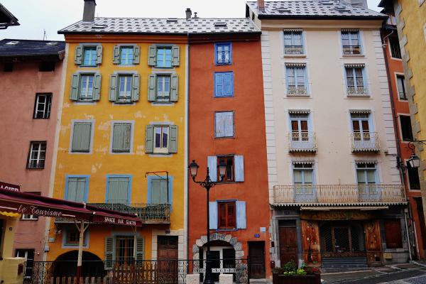
Today the square is a quiet place to sit between visits. It is surrounded by tall, plain buildings of the kind found in the high Alps, with stone walls, shutters, deep eaves and, on some façades, painted sundials that tell the time by the strong mountain sun. Briançon claims around three hundred days of sunshine a year, thanks to its dry, bright mountain climate, and the light on the pale stone is a pleasure in any season. Cafés and small shops stand in the nearby lanes, and benches in the open space invite you to rest and watch the life of the town, with children playing, residents crossing on errands and walkers coming down from the ramparts.
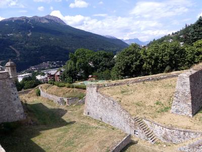
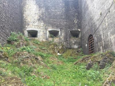
The square forms a natural base for exploring the Cité. From here, the steep paved lanes lead in several directions, and the best known is the Grande Gargouille, the main street with its stream of water running down the middle, a feature that gives it its name, the great gutter. The twin-towered collegiate church of Notre-Dame et Saint-Nicolas, designed under Vauban's direction in the early eighteenth century, stands in the upper town, and the walls and gates of the fortifications are within a few minutes' walk, with their viewpoints over the valleys of the Durance and the Guisane. The Citadelle de Briançon, the Bastion de la Reine and the Église Saint-Pierre-aux-Liens are part of the same circuit, and the Musée des Traversées, devoted to the crossings of the mountains, is close by.
The square itself is open at all times and free. Some of the sites around it have their own hours, which change with the seasons, with a break over lunchtime, so check before you go. The paving is cobbled and steep in places, so wear comfortable shoes, and carry a jacket, as the weather at this altitude can change quickly and evenings are cool even in summer.
Beyond the town, the Vallée de la Clarée, one of the quietest valleys in the region, is good for walking, and the long-distance path GR54, the Tour de l'Oisans et des Écrins, passes nearby. In winter the ski areas of Serre Chevalier are only a few kilometres away. The Fort du Mont-Dauphin, another Vauban site, lies to the south. The square suits walkers, history lovers and anyone who enjoys the atmosphere of a high mountain town.
Categories
More photos coming soon
Nearby Attractions
Other places to visit in Briançon
Citadelle de Briançon
UNESCO-listed Vauban fortifications
From €5 Fortresses · Guided Tours
Bastion de la Reine
UNESCO-listed Vauban fortification in Briançon
Fortresses · Historic Towns
Musée des Traversées
Museum dedicated to Briançon's Vauban fortifications
From €5 Museums & Culture
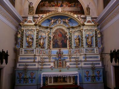
Église Saint-Pierre-aux-Liens
17th-century fortress church in the French Alps
Free Historic Architecture
Questions people ask
Quick Facts
Best Time to Visit
June to August offers mild weather and sunny conditions ideal for hiking and outdoor exploration.