

- Admission
- Free
- Where
- Angers, Pays de la Loire
- Directions
- Directions
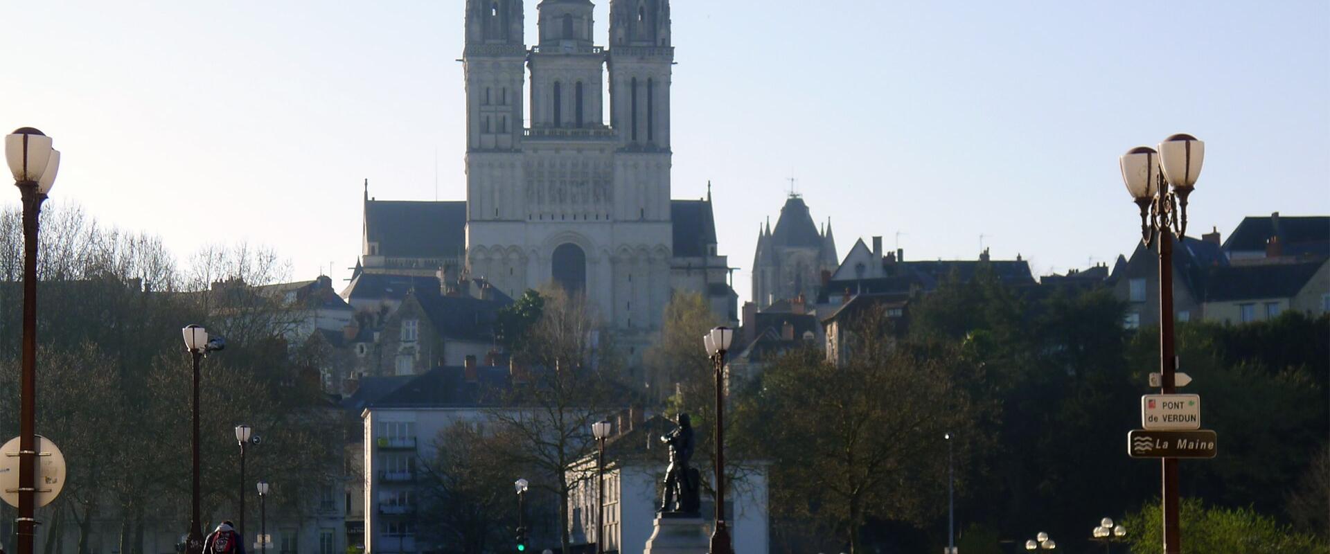
Angers stands on the banks of the River Maine, a short, broad river that flows through the city on its way to the Loire, and its bridges are the best places from which to appreciate the setting. The château, the cathedral and the old houses of the Doutre district on the opposite bank are all seen to advantage from the crossings, and a walk over the water is one of the simplest pleasures of a visit. Several bridges link the two halves of the city, among them the Pont de Verdun and the Pont de la Basse-Chaîne, near the château, and the Pont de la Haute-Chaîne upstream, and together they stitch the old town to the Doutre and to the neighbourhoods beyond.
The river explains the city. Angers was a Roman town and later the capital of Anjou, a province whose counts became kings of England in the twelfth century as the Plantagenet dynasty, and its position on the Maine, a few kilometres from the confluence with the Loire, made it a trading town and a stronghold. Boats once carried wine, slate and stone along the river, and the quays were lined with warehouses. The great château, with its seventeen black and white towers rising directly above the water, was built to control the crossing, and from the bridges its walls look immense. The dark slate quarried in the region, which roofs the old houses, and the pale tuffeau stone of the buildings give the town its distinctive two-tone look, reflected in the river.
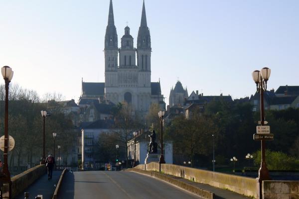
Walking over the bridges is rewarding at any time of the day. In the morning, the light falls on the walls of the château, and in the evening the monuments are lit and their reflections lie on the water. From the bridge nearest the château, the view takes in the whole fortress and the cathedral of Saint-Maurice rising behind it, and on the other side the church of La Trinité and the houses of the Doutre district, with their old timber fronts, climb the slope. Footpaths and cycle routes follow the banks on both sides, and the Maine à Vélo cycle route runs along the river towards the Loire and upstream towards Mayenne. Boat trips leave from the quay beside the château, and riverside cafés and restaurants offer a place to pause.
The broader region has a long tradition of bridge building. A few kilometres south of the city, at Les Ponts-de-Cé, a series of medieval bridges and causeways crossed the Loire and its branches, a long chain of arches that was once the main crossing of the river in this part of France, and it gives an idea of how important these crossings were in the Middle Ages.
Angers has much else to see close to the river. The Château d'Angers houses the Apocalypse Tapestry, the Musée Jean-Lurçat shows contemporary weave and the Musée des Beaux-Arts and the Musée de la Magie are in the old town. The Place du Ralliement, the Quartier Saint-Aubin and the Parc de la Roseraie are within walking distance. The bridges suit everyone, cost nothing and are open at all hours, and the tram lines A and B and several bus routes serve the centre.
Categories
More photos coming soon
Admission Fees
- Admission
- Free
Hours and prices change, especially out of season. Check with the venue before you go.
Nearby Attractions
Other places to visit in Angers
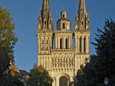
Cathédrale Saint-Maurice
12th-century Gothic cathedral with stained glass
Historic Architecture · Museums & Culture
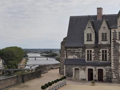
Château d'Angers
Medieval fortress housing the Apocalypse Tapestry
From €11 Castles · Gardens

Quartier Saint-Aubin
Free historic tower with panoramic city views
Guided Experiences · Historic Architecture
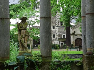
Musée Jean Lurçat et de la Tapisserie Contemporaine
Jean Lurçat’s Le Chant du Monde in a 12th-century hospital
From €6 Historic Architecture · Museums & Culture
Questions people ask
Quick Facts
Best Time to Visit
Mid-June to mid-September offers warm weather and ideal conditions for outdoor activities and sightseeing.