- Where
- Clermont-ferrand, Auvergne
- Directions
- Directions
The Puy de Dôme is the best-known peak of the Chaîne des Puys, a line of around eighty extinct volcanoes just west of Clermont-Ferrand in the Auvergne. It rises to 1,465 metres and, being a dome of thick lava rather than a classic cone, has smooth, grassy slopes and a flat top. The chain, together with the Limagne fault, was inscribed on the UNESCO World Heritage List in 2018 as a showcase of how a continent splits. The volcanoes are young in geological terms and some of them still have well-preserved craters, which can be seen on the many walking trails around the area.
The summit has been a place of significance for two thousand years. The Romans built a temple to Mercury on top, and its remains were uncovered in the nineteenth century, with the foundations and some sculpted fragments now on display and a partial reconstruction on the site. In 1648 the scientist Blaise Pascal asked his brother-in-law to carry a barometer up the mountain, and the drop in pressure measured at the summit helped to show that air has weight and that atmospheric pressure falls with altitude, which is a landmark in the history of physics. In 1911 the aviator Eugène Renaux flew from Paris to the summit in a competition sponsored by the Michelin brothers, and the flight is remembered in an exhibition. A television antenna put up in the 1950s stands on the top, and it is not open to visitors.
There are two main ways up. The first is on foot, along the old Chemin des Muletiers, a path used for centuries, which takes about an hour and gives a good workout. The second is the Panoramique des Dômes, a rack railway opened in 2012 that climbs to the top in about fifteen minutes and gives wide views from the carriage. Cars no longer drive to the top. Dogs are allowed on a lead.
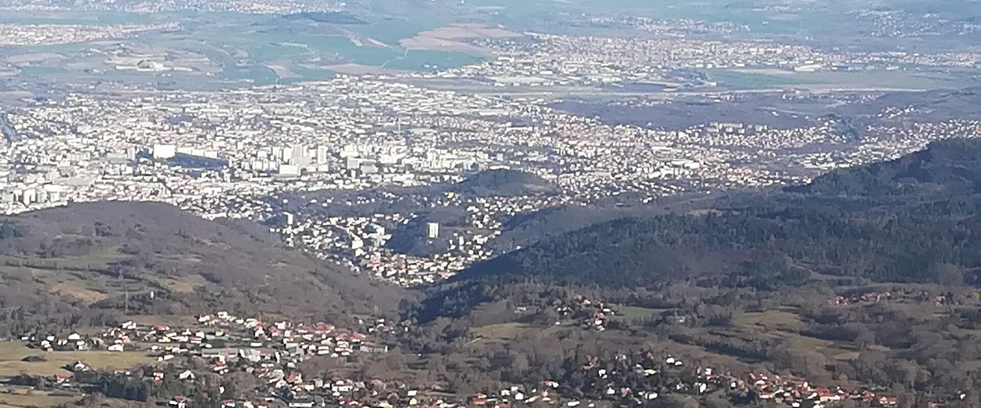
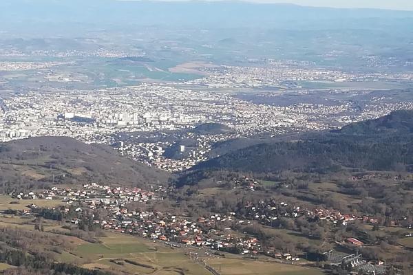
The view from the top is the reward. On a clear day you can see the whole Chaîne des Puys, the wide Limagne plain around Clermont-Ferrand, and the Sancy massif to the south-west, and sometimes the Alps are faintly visible far to the east. A trail leads around the summit, with information boards on the volcanoes and wildlife, and the Espace Grand Site de France, at the top, gives information on the heritage of the place. The mountain is also a famous take-off site for paragliding, and flights can be arranged with local operators. The weather can change quickly, and it is often windy and cool at the top even in summer, so bring a jacket.
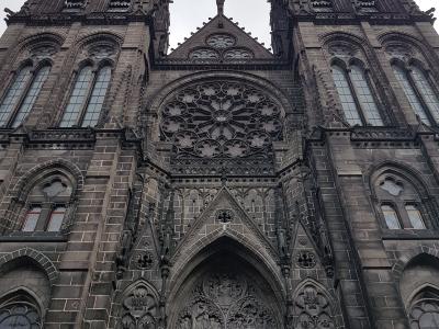
Opening times for the train and facilities change with the season, so check the official schedule. The mountain is half an hour from Clermont-Ferrand and the Cathédrale Notre-Dame-de-l'Assomption in the city is built in dark volcanic stone, which makes a good second stop.
Categories
More photos coming soon
Nearby Attractions
Other places to visit in Clermont-ferrand
Cathédrale Notre-Dame-de-l'Assomption
Gothic cathedral of black lava stone
Free Architectural Landmarks · Churches
Quartier de la Boucherie
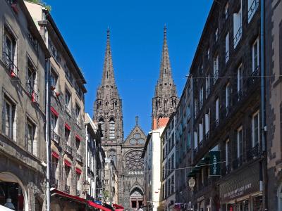
Medieval neighborhood of the former butcher's guild
Guided Experiences · Historic Architecture

Place de Jaude
Clermont-Ferrand's central square with Bartholdi statue
Free City Centers · Squares
Musée d'Art Roger-Quilliot
17th-century convent housing fine arts
Historic Architecture · Museums & Culture
Questions people ask
Quick Facts
Best Time to Visit
Late June to early September offers warm weather and ideal conditions for outdoor activities and sightseeing.