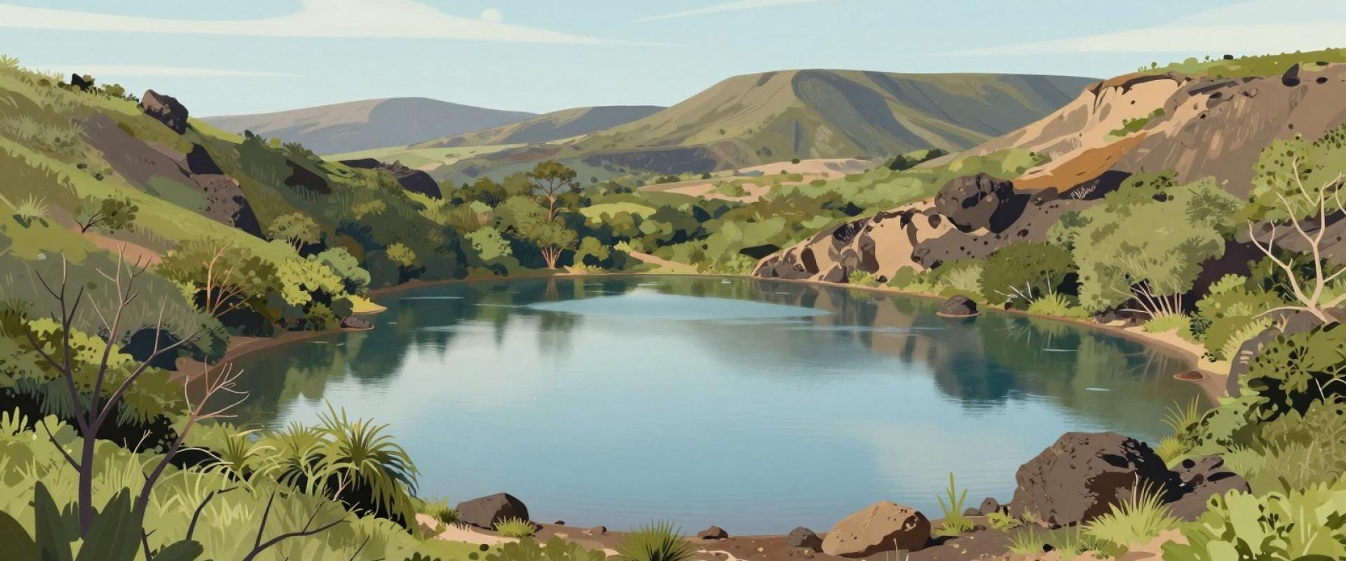
Hiking Trails around Salers
Hiking trails in the Parc Naturel Régional des Volcans d'...
- Hours
- Office de Tourisme du Pays de Salers: Daily (Closed Jan 1 and Dec 25)
- Where
- Salers, Auvergne
- Directions
- Directions
Salers is a small medieval town of dark volcanic stone on a plateau in the Cantal, in the middle of the Parc Naturel Régional des Volcans d'Auvergne. It is classed among the Plus Beaux Villages de France, and its steep lanes, turreted houses and fortified gates make it one of the best-preserved towns in the Massif Central. It sits above the valley of the Maronne, between the Dordogne basin to the north-west and the peak of the Puy Mary to the east, and the countryside around it is a landscape of green pastures, deep valleys and the eroded remains of a huge volcano.
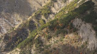
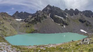
The Cantal volcano, which erupted millions of years ago, is among the largest in Europe, and its slopes were carved by glaciers into radiating valleys. The Puy Mary, at 1,783 metres, is the best-known summit, reached by a short but steep path from the Pas de Peyrol, and it offers a wide view across the other peaks. The long-distance GR 400 trail circles the Cantal volcano and passes through the area, and a network of shorter waymarked paths gives walkers a choice of routes of different lengths. Summer is the main season for walking, when the meadows are in flower, while in winter the plateau is used for snowshoeing and cross-country skiing, depending on snow.
The animals are part of the scenery. Salers cattle, with their lyre-shaped horns and mahogany coats, graze the summer pastures, and their milk is used to make Salers cheese, one of the traditional cheeses of the Auvergne. Meeting a herd on a path is common, so keep dogs under control and close gates behind you.
The town is worth a visit in its own right. The two surviving gates, the Porte du Beffroi and the Porte de la Martille, date from the fortifications built in the late Middle Ages, and the Renaissance houses on the Place Tyssandier d'Escous were built by wealthy local families in the fifteenth and sixteenth centuries. The Château de Salers and the Musée des Volcans, which explains the geology of the region, are nearby points of interest.
Weather changes quickly at altitude, with fog, wind and storms possible even in summer, so bring layers and sturdy footwear and check forecasts before leaving. For up-to-date trail maps and conditions, ask at the tourist office in Salers. The area suits walkers of all levels, families with older children and anyone looking for quiet countryside away from the big sights.
More photos coming soon
Opening Hours
- Open
- Office de Tourisme du Pays de Salers: Daily (Closed Jan 1 and Dec 25)
Hours and prices change, especially out of season. Check with the venue before you go.
Nearby Attractions
Other places to visit in Salers
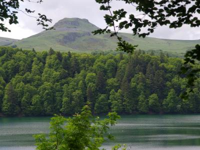
Parc Naturel Régional des Volcans d'Auvergne
UNESCO volcanic park and medieval village
Nature & Parks · Forests
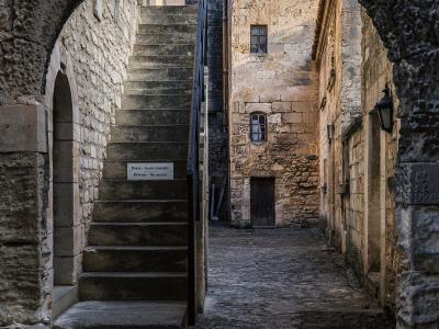
Village Streets and Stone Architecture
Village streets with black volcanic stone architecture
Historic Architecture · Historic Towns
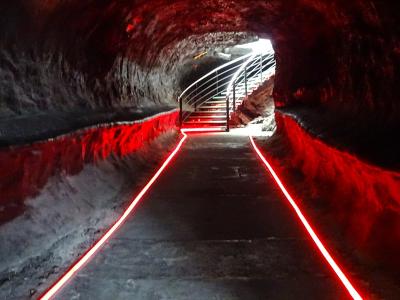
Musée des Volcans
Volcanoes museum in a former Knights Templar house
Historic Architecture · Museums & Culture
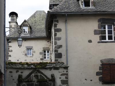
Château de Salers
Medieval village with Renaissance turrets
Historic Architecture · Nature & Parks
Questions people ask
Quick Facts
Best Time to Visit
June to September offers warm weather and ideal conditions for outdoor activities and sightseeing.